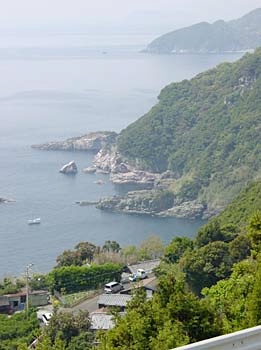
I mentioned that sometimes the road goes down almost to water level. It also goes in the other direction, as this photo shows. This is near the end of the peninsula.


I mentioned that sometimes the road goes down almost to water level. It also goes in the other direction, as this photo shows. This is near the end of the peninsula.
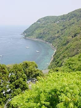
I came here at what I thought would be the height of the spring greens, and this photo shows that I judged it fairly well. A week or two earlier and the colors would be even more Day-glo psychadelic.