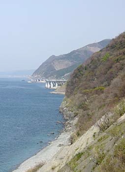
From here, the road gets less pleasant, as you might be able to tell from this photo. The elevations are slightly higher, but that’s less of a problem than the fact that the “up” is on a covered highway with cars zooming past and no real shoulder. It’s not bad, just not as pleasant as what came before.


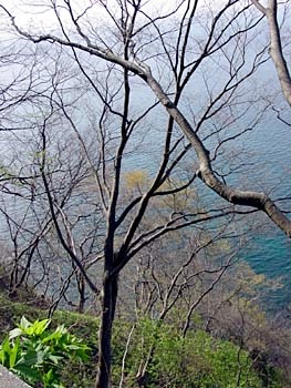
Still, you get nice views like this, with some nice historical markers explaining the derivation of local place names and, at this particular location, a long panel with photos explaining how difficult it was to hew this road out of a steep, solid rock cliff by hand in the late 1800s.