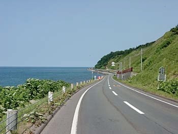


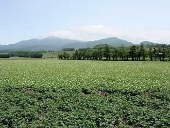
Gradually the scenery started to look familiar. I’d come to this area on my first cycling trip to Hokkaido, though my route on that trip led up from Lake Kussharo and Lake Masshuko to the south. This was my last sight of farmland before returning to the coast for the final segment of the ride that led through the town of Utoro to Shiretoko.
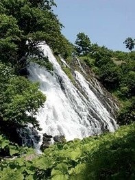
So from here on, I knew the way... and the sights. There’s a massive waterfall (Oshinkoshin no taki) by the side of the road just before you enter a short tunnel. You’ll have to keep a sharp lookout for the other, smaller waterfall (Sandan no taki) a short distance further on.